
As a final post about our recent trip to Sequoia and Kings Canyon, I wanted to add to my “occasional series” on campgrounds and lodging. I had originally decided on Kings Canyon for our Labor Day weekend trip specifically because most of the campgrounds in the national park proper are first come-first serve, so I could be late to the planning party but at least in the same boat as everyone else! As the week went on, I got a little nervous we wouldn’t make it in time from the Bay Area to secure a campsite Friday afternoon, so I started checking for cancellations and snagged a reservation at Princess Campground in Sequoia National Forest. FYI, there was in fact still availability in the NP around 5 pm when we arrived, but it definitely filled up sometime that evening.

 Princess is in a great location just about a 10 min drive past Grant Grove on CA 180 and a half hour from Cedar Grove. It is technically in the National Forest, but you do have to pay the NP entrance fee to get to it by road. It was actually a great location for being able to explore both Sequoia and Kings Canyon parks (at least those areas accessible by road from the west). The campsites were generally more spread out that what I saw in Cedar and Grant Groves, and some had a decent amount of privacy among the trees. We were in the “Shining Cloud” loop at site #50, which was ideally situated between some trees and had a nice open area out the back leading toward Princess meadow. The sites on either side of us also seemed pretty nice, although they were nearer to the other loops on one side or the bathroom (pit toilets) on the other. At the campsite, we had company from chipmunks, Douglas’ squirrels, and a little bat in the evenings!
 Behind the campground is the meadow, which was quite pretty with a little grove of birch trees. The “Indian Basin” trail is a short interpretive walk around the area (a shorter paved loop and a longer partly unpaved loop). When we took it Friday afternoon when we arrived, we saw some grazing cattle and one of the highlights of the trip – a bear! I haven’t seen a bear in CA in several years, and Jason never has, so this was quite exciting. We and the cows watched him meander by on the hillside to the far end of their grazing grounds. Good inspiration to be vigilant about using the bear box back at camp!


All in all, I’d definitely return to Princess on my next trip to the area, but they are only open in the summer and closed after Labor Day this year, so it’ll have to wait until next season!
 In my last post, I featured spots in Sequoia National Park, but it turns out, Kings Canyon holds its own when it comes to giant sequoias in addition to having gorgeous valleys, granite canyons, and meadows.


 continue East on 180 instead of heading south on the Generals Hwy, you’ll drive down the canyon walls into Cedar Grove and the section of the park that follows the Kings River deeper into Kings Canyon. This area houses the other large campgrounds within Kings Canyon, a visitors center near the campground (where you can find the passport cancellation), and an additional information stand at the aptly named Road’s End. From Road’s End, you can continue on foot 2-3 miles down either side of the river to a bridge. From the bridge, you can return to Road’s End the way you came or down the other side, head up the hill for Mist Falls (apparently “still misting away” this time of year) or head up the Bubb’s Creek Trail to the left.


 but I finally got a to take a long weekend this summer to visit a new (to me) National Park. Parks actually, since Kings Canyon and Sequoia are two adjacent National Parks managed together. I love the Sierras, and these parks just may rival Yosemite as my favorite NP! There were so many highlights to this trip, that this will have to be a multi-part post.


 Further into Sequoia National Park is the Lodgepole area, which has a visitor’s center, campground, market, and other facilities. Lodgepole is one of two places where you can get tickets for the Crystal Cave tour (the other is the Foothills VC near the southern entrance), but we didn’t have time for that one this trip. If you do plan to go into the cave, read the current restrictions on clothing and equipment before you go as efforts are underway to prevent the spread of white-nose syndrome from bat colonies in the Eastern US.


 Muir Woods is a beautiful example of a California redwood forest, with coast redwoods lining a shaded creek surrounded by ferns and a blanket of redwood sorrel. Unfortunately, it is also THE place for people touring CA to get a quick giant tree fix, so you get the trees without the tranquility. There are certainly better places to lose yourself in nature, including redwoods, but the scenery is still able to impress (and as you can see, I managed to get a few pictures without people in them!). Other highlights of the Monument (which likely also contribute to its popularity) are the educational programs and the boardwalked trails through the center of the park, which both protect the woods floor while also making the park more accessible to all visitors.


 If you must visit Muir Woods during summer weekends (as I apparently had to), it is highly recommended that you take the Muir Woods Shuttle (follow signs from the freeway). Another option if you are planning on doing more than just the boardwalk is to hike into the Woods from Mt. Tamalpais State Park. There are several options here: From the Mountain Home Inn, you can take the Panoramic and Ocean View trails into Muir Woods or follow Alice Eastman Road down to the Plevin Cut and Camp Eastwood trails.
 Pantoll Ranger Station, starting with the Stapelveldt and Ben Johnson trails and returning via Bootjack and Alpine. Up at the ranger station, it was all blustery fog and moss-covered trees, but we quickly lost the wind heading down the back side of the hill and had a pretty solitary hike until we got closer to Muir Woods. As you descend, you can see the redwood forest develop as you get further down into the watershed – it’s really quite a nice way to approach! All together, it ended up being about 8 miles and 4 hours, including some meandering about the visitor’s
  center and a stop on the trail for some lunch.
 problem with doing the hike this way is that the uphill is all on the way back! Using the TCC trail as a connector, you could do the loop we did from the end of the Muir Woods trail if you prefer to do the uphill first. My fitbit logged 147 flights of stairs – I was highly tempted to go up and down the stairs at my apartment 3 more times when I got home, but my knee was hurting from all the downhill hiking.


 is without a doubt one of my favorite places in this world. It’s definitely hard to keep up any pretense that I don’t have a favorite park, and I’ve spent my past couple
  birthdays waking up and logging on to recreation.gov to make sure I get those coveted summer camp
 ing reservations.


 amenities of campgrounds in the park (I have to say, I am a fan of access to potable water). Some campsites were pretty large, but with nothing but a few Joshua trees for buffer, it did get a little noisy from some of the nearby campers. Not so noisy you couldn’t hear the coyotes crying in the early evening, though. There are some mid-range hiking trails in the area of the campground, but we didn’t check them out this trip. We did discover that Sam’s Market (and pizza and Indian food…) a few miles down the road in the town of Joshua Tree, had a good beer selection and other supplies, such as firewood.


 Dungeness National Wildlife Refuge.
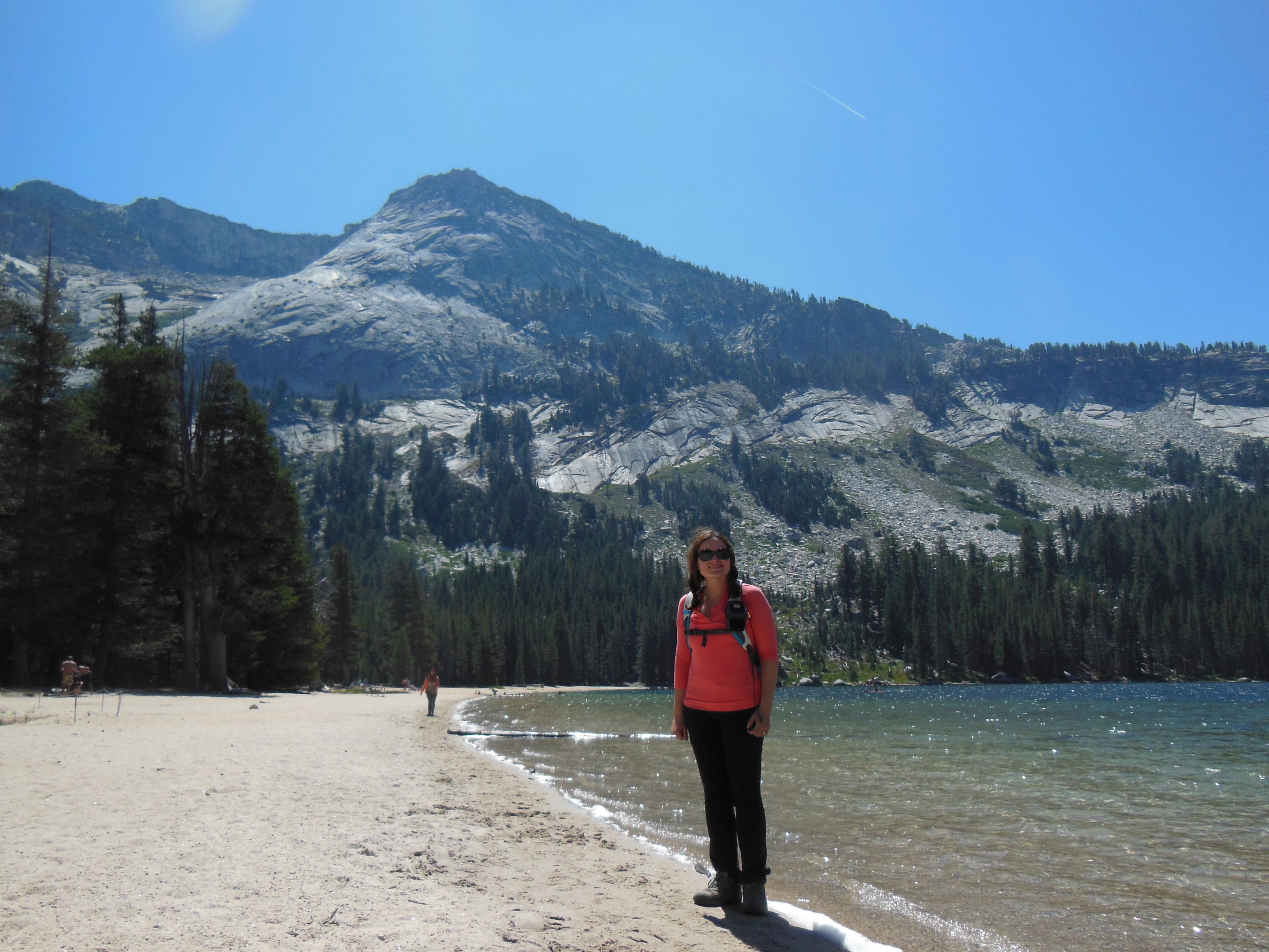